A new build apartment block towers over the derelict Woodberry Down Estate in Hackney. Photo by Jack Millner
Figures from the Land Registry Price Index in February showed that house prices in Hackney are rising faster than any other London borough, with a 17% increase on last year's prices.
Step 1 - Shape file
First you need to find a shape file. This is a file that will tell Google fusion tables what the boundaries will be on your map. These might be American states or English counties. In this example, we are going to use UK constituencies.
To get hold of this you will need to go to the Office for National Statistics geoportal. Click on the 'download products' tab.
First you'll need to get your hands on some data. To make a map, you'll want some data with at least one column of accurate location data, as well as a few columns of other information.
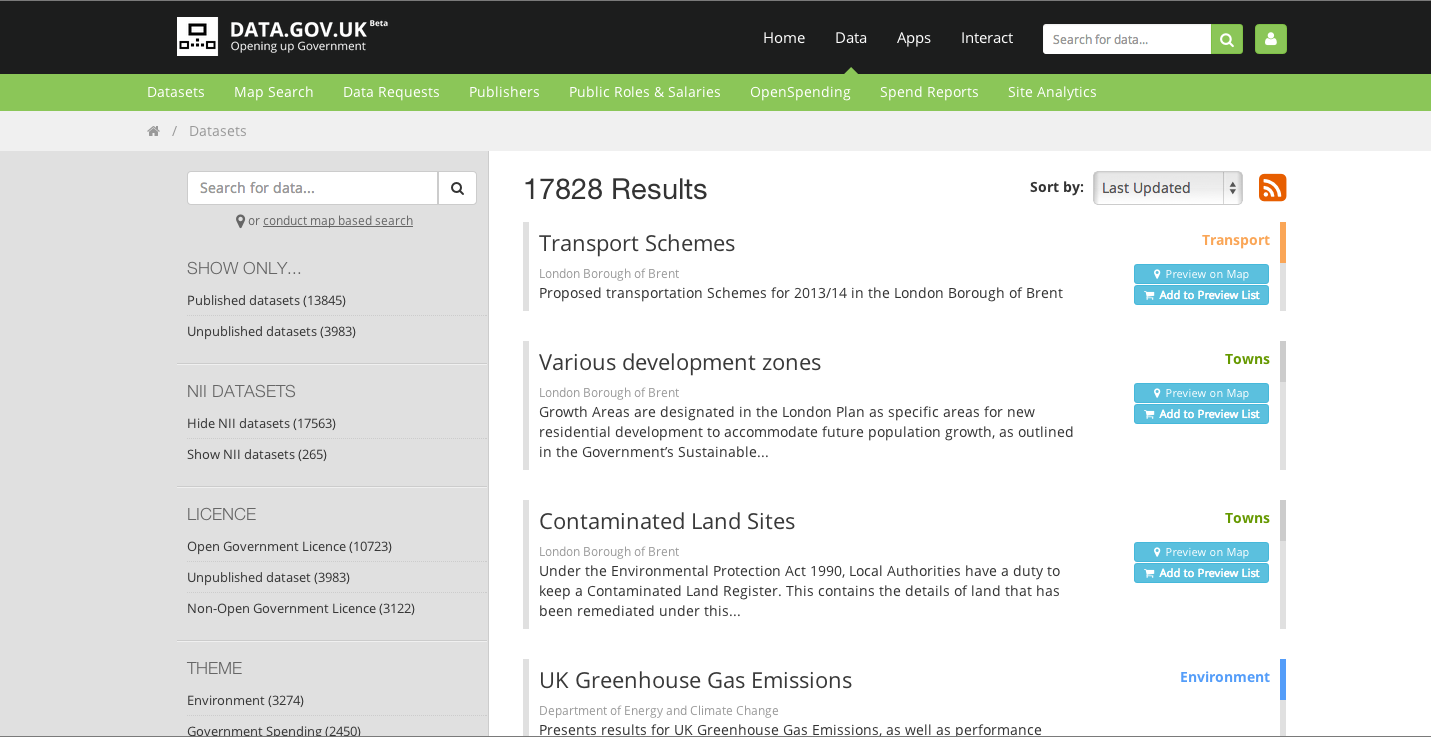
The data.gov.uk site issues public data regularly and provides it in excel .xls format. It has an easy to use interface and it is searchable by many criteria. And because it's from the UK Government, it should be fairly reliable as a data source. It looks like this: